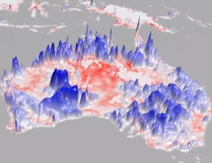
The National Aeronautics and Space Administration is scheduled to launch this January a new satellite to gather soil-moisture data to help predict floods and droughts.
NASA’s soil-moisture active-passive (SMAP) satellite joins the recently launched Sentinel-1 satellite, which collects data for the European Space Agency’s soil-moisture and ocean-salinity (SMOS) mission. The SMOS project measures the level of water saturation in the top layers of soil and the concentration of salt in the surface layer of seawater. Much of SMOS’ soil-moisture and ocean-salinity data is free to the public and recently made available here.
By shooting active and passive microwave beams through clouds to take, day or night, images of surface layers, scientists can determine whether soil is oversaturated with water or water-deficient. Accurate predictions are limited to regions with low or no vegetation, states a release from the United Nations Platform for Space-Based Information for Disaster Management and Emergency Response. The data, when culled from crops’ root zone, can detect the onset and severity of drought earlier than other methods.
Once in orbit, SMAP deploys 1,400-watt solar panels to power further deployment of its larger mechanisms. NASA estimates that, after launch, SMAP will take 20 days to begin deployment of its thin-mesh antenna, which reflects microwave beams. NASA also estimates that, 34 days after launch, SMAP will spin at 14 rpm, making 620-mile-dia circles on the Earth’s surface. Once operational, NASA data states that, every three days, SMAP will map the Earth’s surface for soil-moisture data, including soils in a thawed or frozen state.


Post a comment to this article
Report Abusive Comment